The Lake Champlain Committee (LCC) and environmental consulting firm Arrowwood Environmental (AE) won a competitive grant from the Lake Champlain Basin Program to continue our aquatic invasive species mapping and control project. Over the past five years, LCC and AE have refined methodology for finding, mapping and controlling floating-leaved aquatic invasive species (AIS) in the northern Lake Champlain basin. The $15,000 grant will fund 2017 project work to control water chestnut in Black Creek, VT and Lake Alice, NY, expand our study area south on the New York side of the lake and investigate the applicability of drone technology to find water chestnut in remote wetlands.
"Employing drone technology to map natural resources is an emerging field with a lot of potential," notes AE project partner Michael Lew-Smith. "We are excited to test this technique to map water chestnut, especially in larger wetlands where access can be extremely difficult." For example, when LCC and AE discovered water chestnut populations in Black Creek Marsh in 2016, dense vegetation, low water and mud flats prevented access to some areas of suitable habitat. Without accessing the entire wetland, we don't know if other source populations exist.
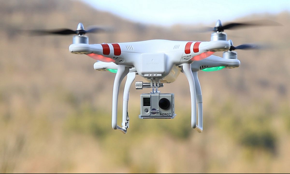
Recent advancements in drone technology has led to their broader use. Experiments using drones to map water chestnut have been conducted in the Great Lakes by researchers at SUNY Buffalo as well as by the US Fish and Wildlife Service on the Silvio O. Conte Wildlife Refuge. LCC and AE have been in contact with these researchers and land managers to discuss the equipment, methodologies and results. We will use similar equipment and methods to test this procedure for mapping water chestnut in the Lake Champlain watershed. AE has a certified Unmanned Aerial Vehicle (UAV) pilot on staff who will direct and oversee all the drone operations per Federal Aviation Administration (FAA) regulations for commercial drone applications. Three test sites with known water chestnut populations will be flown with the drone and the effectiveness of this technique evaluated. One of the sample sites will be flown in partnership with the University of Vermont Spatial Analysis Lab (SAL) using their advanced UAV and high resolution infrared camera. Processed imagery provided by the SAL will be compared to the LCC/AE imagery from the same location. This exercise will help determine if there is a significant advantage to the use of high-end drone and sensor equipment or if results are similar to those from less expensive and more available technology. The use of drones to map water chestnut may offer an efficient and cost-effective method for AIS detection in the Lake Champlain basin.