For most of the last six years LCC has been conducting surveys for aquatic invasive plants and initiating control efforts where possible. We have worked in conjunction with Arrowwood Environmental to map the distribution of European frogbit and water chestnut around the northern portion of Lake Champlain and conduct handpulling removal efforts where applicable. While water chestnut is still fairly rare in these areas, sadly we have found frogbit to be prevalent. This year we have shifted our focus upstream from the lake to find out how far inland frogbit has spread. So far we have found pockets in the wetlands at the mouth of the Winooski River and widespread populations in the LaPlatte River marshes. The project provides important information to help understand the distribution, extent and biology of aquatic invasive species in the Champlain Basin. By continuing our inventory and control efforts, we are able to contribute to the maintenance of a healthy Lake Champlain ecosystem. The mapping and control project is funded with a grant from the Lake Champlain Basin Program.
LCC Mapping Invasive Plant Distribution
Posted Friday, July 29, 2016
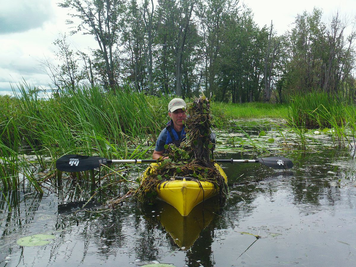
Harvesting frogbit. Photo by Mike Winslow.