Pollution loading from developed lands remains one of the most difficult sources of phosphorus to control. The Lake Champlain Basin Program (LCBP) recently released two requests for proposals for studies that could improve management of developed lands in the New York portion of the watershed.
One project would outline a program to better manage New York back roads. Roadways become part of the stream network during a rainstorm or spring melt. Frequently roadside ditches discharge directly into streams, lakes or wetlands. Eroding banks and dirt roads can be a significant source of phosphorus to Lake Champlain and other waterways. Better management of back roads is one way to reduce pollution from existing developed land. Since 1997 Vermont has provided grants and technical assistance to communities through a better back roads program. LCBP is hoping that something similar can be established in New York to deal with this important source of pollution loading.
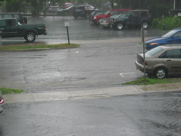
The second project would develop a map of impervious surfaces in New York and Quebec portions of the basin. Impervious surfaces such as streets, rooftops and parking lots shed water during rain, increasing the distance over which pollution is carried and causing erosion. Vermont is developing a map of its impervious surfaces and Basin Program funding for New York and Quebec would ideally lead to a seamless map for the entire Champlain watershed. A complete map of impervious surfaces will improve our ability to target actions to reduce pollutants.
