Main content

News Archive

News from Selected Month

October 2012

Predicting Blue-green Algae Blooms

Wouldn’t it be nice to know at the beginning of the summer how bad blue-green algae blooms were going to be on Lake Champlain? Well, researchers from the National Oceanic and Atmospheric Administration’s National Center for Coastal Sciences (NCCOS)…

More...
Satellite image showing mild bloom on Lake Erie in 2004. Right – Satellite image showing 2011 blue-green algae bloom, the worst in decades. Both images courtesy of ESA/MERIS; Processed by NOAA/NCCOS.

Law Island Reclamation

Law Island is an 8.5 acre island close to the breakwater in Malletts Bay. A site on the Lake Champlain Paddlers’ Trail, it provides a secluded setting in a high traffic area of Lake Champlain with outstanding views of the lake and several islands.…

More...
One of the dilapidated buildings contaminated with lead and asbestos that was removed from Law Island.

Want to Check the Health of a Waterway? There’s an App for that.

Earlier this month the U.S. Environmental Protection Agency (EPA) launched a new app and website to help people find information on the condition of thousands of lakes, rivers and streams across the United States from their smart phone, tablet or…

More...
Check water quality using the How’s My Waterway app. Photo by EPA.

Fun and Fossils at LCC’s 49th!

Members and friends gathered at “The Barnhouse” in historic Isle La Motte earlier this month for LCC’s 49th Annual Meeting. Attendees learned about current work, got a status report on lake health, conversed with other lake lovers, ate great food,…

More...
Thanks to Selby and Maureen Turner for hosting LCC at The Barnhouse. Photo by Selby Turner.

Eat, Drink, Be Merry on the International Wine Trail

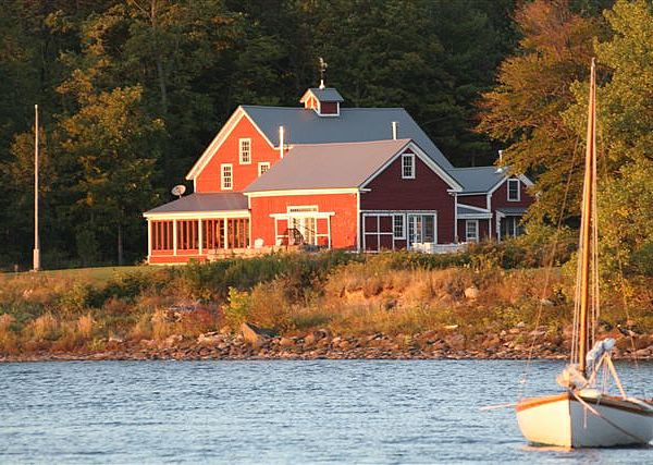
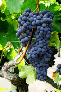
A new international wine trail was unveiled at Snow Farm Vineyards in South Hero, Vermont in late September. Linking many wineries extending from Middlebury, Vermont, to Plattsburgh, New York and to Dunham, Québec, the Champlain Valley International…

More...

Nature Note: Lake Levels

Strong winds out of the north during Hurricane Sandy led to a decrease in lake level at Rouses Point and an increase at Whitehall as waters were pushed south. The difference amounted to about four inches. Following the storm, the lake leveled out…

More...
Water blowing into Kingsland Bay as the winds pick up. Photo by Mike Winslow.

Thank You Donors!

Members are the lifeblood of LCC. Annual membership helps fund our work to protect and restore water quality, safeguard natural habitats, provide access, and educate and engage people in stewarding this beautiful waterbody. Our deep thanks to LCC…

More...
Membership donations fuel LCC’s work. Photo by morguefile.com.

Lake Champlain in the Energy Grid

Two recent proposals have shown that Lake Champlain is likely to be in the center of our region’s future energy transmission network. One project proposes to lay a power line at the bottom of Lake Champlain to transmit energy from large…

More...
Does it make sense to place power lines and other energy transmission projects at the bottom of Lake Champlain? Photo from Wikipedia.

October 27 – Cold Water Immersion Clinic

Join veteran kayaking instructor and Kokatat representative Suzanne Hutchinson for a cold water immersion clinic. The day-long program includes both inside instruction about the dangers of cold water paddling and how to prepare along with an outdoor…

More...